Hiking
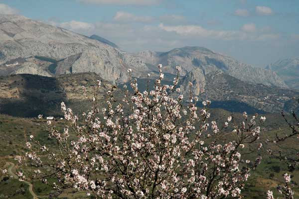
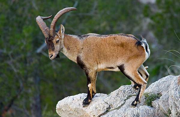
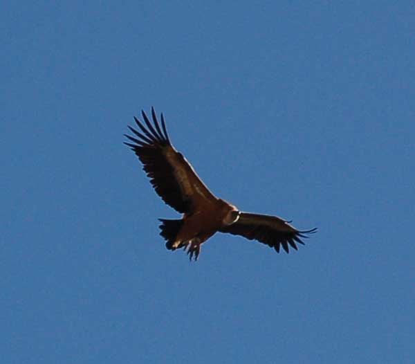
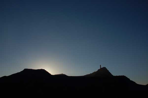
Andalucía, and especially the area surrounding El Chorro, is an impressive and unique landscape. Steep mountain ranges contrast beautifully with the flat planes of olive groves and citrus farms. The famous hiking trail, the GR-7, climbs through the heart of the Natural Park of Los Gaitanejos. Here you will encounter the mozarabic ruins of El Bobastro, deep gorges carved out of rock and a plethora of wildlife including vultures, eagles, and mountain goats. Combined with the colorful flora of the hillsides, the trails in the El Chorro region offer stunning views of the terrain. You can start your hike right from your accommodation at the Finca la Campana.
A favourite pastime of many, 'going for a walk', or hiking, is a great way to explore the natural beauty of an area and keeping fit in the process. Andalucia has no shortage of such beauty spots, in fact they are often right on the doorstep, but finding routes to follow or even where to start can be surprisingly difficult.
Hiking (senderismo in Spanish) is often viewed as an official hobby or sport in Spain, which requires its own special clothes, accessories and guides, and it is often the case that groups of people join together 'to hike' and enjoy the various routes en masse. In contrast, in other European countries, such as the UK, although having the correct clothing is useful, many people set off in their oldest garb, without maps or sticks or even having thought much about it.
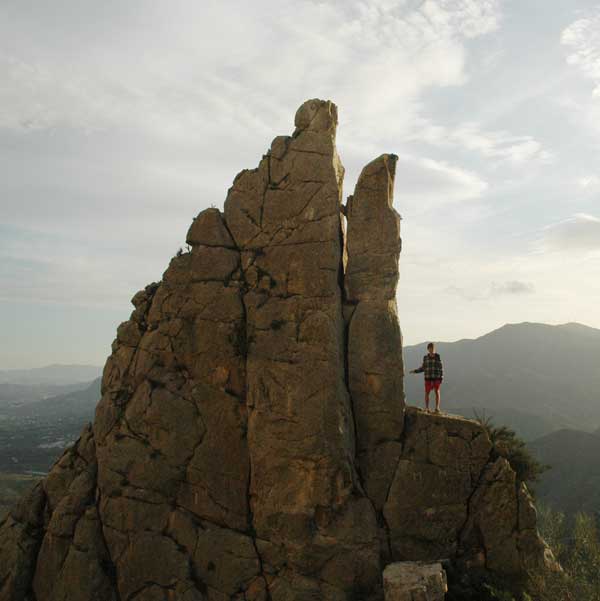
It is worth noting that the terrain marks a difference, and the often mountainous rocky outcrops in Andalucia which you may find yourself scrambling over are worth being prepared for.
With regards to where to walk, sometimes its the case of those that are in the know, and those that aren't. Despite being surrounded by hills, forests, mountains, lakes and countryside that must be filled with routes to walk and explore, it can be very difficult to identify these, or know where you will end up!
For those looking for routes closer to the water rather than high up in the mountains, by going towards 'los embalses '(the lakes), in the direction of Ardarles from El Chorro, there are more routes to be enjoyed. 'The embalses' are often referred to as lakes, although they are actually manmade reservoirs that as well as being attractive and a great place to cool down in the summer now provide crucial water for the province.
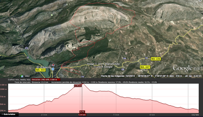
Click here to download a map or follow this link to have a look from the sky!
http://earth.google.com. 36°54' 18.08 N 4°44' 54.23 W
At The Finca la Campana we can provide you with a great variety of maps as well as a GPS to help you enjoy these extraordinary trails.
We offer guided tours for the Kings walk on request.
